")
")
GeoTomo's 2D & 3D Seismic Data Processing System
GeoThrust is a unique 2D/3D surface seismic data analysis system developed by GeoTomo. Drs. Oz Yilmaz and Jie Zhang designed and supervised the development of the software package. GeoThrust combines advanced near-surface imaging techniques with innovative subsurface imaging strategies, and presents a powerful solution to difficult earth imaging problems. It is particularly applicable to areas with complex structures associated with overthrust tectonics and complex near-surface with irregular topography.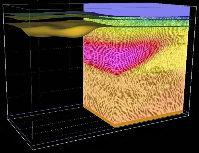
GeoThrust is designed to obtain an accurate earth model and image in time and depth. Even data recorded with irregular geometry in areas with rough topography, complex near-surface, and complex subsurface are handled by GeoThrust. It has uncompromisingly high technical specifications for data analysis and quality control, but is easy to use.
GeoThrust now includes AxRTM, Acceleware's Reverse Time Migration library. GeoTomo has partnered with Acceleware to quickly implement and offer leading edge Reverse Time Migration (RTM) technology in our GeoThrust, 2D/3D seismic data processing system. AxRTM is fully integrated into GeoThrust's easy to use interactive workflow. AxRTM adds another dimension to our current suite of advanced imaging technologies for imaging complex subsurface geologies. Acceleware's AxRTM pre-stack two-way wave equation migration library with isotropic, VTI, and TTI capabilities leads the industry in compute performance and image quality. We are excited to offer AxRTM to our GeoThrust user community.
Distinctively Unique Features
- The near-surface model is estimated by nonlinear tomography applied to first arrival times and resolves lateral and vertical variations.
- GeoThrust performs subsurface velocity estimations, modeling, and imaging from topography, not from a flat datum, based on RMS and interval velocities estimated at reflector positions, not at reflection positions.
- GeoThrust near-surface modeling workflow allows to derive image-based statics without first-break picks and with the capability in handling the velocity inversion.
- GeoThrust imaging in time and depth are both performed by prestackKirchhoff, wave equation migration and Reverse Time Migration (AxRTM) algorithms with uncompromising accuracy and fidelity.
- GeoThrust imaging in time and depth are both performed by prestack Kirchhoff and wave equation migration algorithms with uncompromising accuracy and fidelity.
- GeoThrust 3D workflow scans both RMS velocities and the anisotropy parameter for enhanced 3D prestack time imaging of the v(z) media.
- The system provides the analyst with powerful interactive tools to perform quality control of geometry and for appropriate specification of signal processing parameters, and picking RMS and interval velocities.
- The system is based on a workflow architecture that manages the project for the analyst and allows the analyst to focus on the geological and geophysical aspects of the project.
GeoThrust is designed for Linux Workstation, and Linux Clusters.